Skip to content
Birmingham Land Surveyor logo
205-506-4139Licensed • Bonded • Insured

Birmingham Land Surveyor: ALTA, Property Line & Topographic Land Surveys for Residential and Commercial Properties

Birmingham Land Surveyor has more than 30 years of experience performing ALTA/NSPS land title surveys, property line and boundary surveys, and topographic mapping across Jefferson County and the Birmingham metro. We also handle construction staking, subdivision and parcel mapping, easement surveys, lot line adjustments, elevation certificates and flood zone determinations, and drone and 3D laser scanning for homeowners, developers, and commercial clients throughout the area. A quarter-acre residential lot in a neighborhood like Forest Park gets the same careful boundary work as a hundred-acre commercial tract in a growth corridor like Hoover or Trussville.

Every project starts with a free quote and a written scope before any fieldwork begins. Birmingham Land Surveyor is licensed by the Alabama Board of Licensure for Professional Engineers and Land Surveyors, and every map we produce is signed, sealed, and prepared to the Standards of Practice for Surveying in the State of Alabama. Alabama's land records trace back through the Public Land Survey System, so an older Jefferson County parcel often has to be reconciled against an original General Land Office plat, and any subdivision or plat action has to clear Jefferson County's Planning and Zoning Commission before it's filed with the Probate Judge. We handle that research and filing from the first measurement to the recorded plat, so request your free quote and we'll scope your survey.

Request a Free Quote

Property & Boundary Surveys in Birmingham, AL

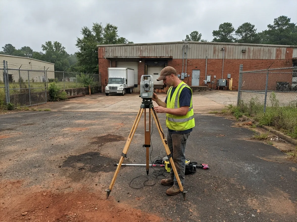
  • Land surveyor operating a robotic total station on the lot of a brick commercial warehouse with loading docks and a chain-link fence

    ALTA/NSPS Land Title Surveys

    ALTA/NSPS land title surveys follow the 2021 ALTA/NSPS Minimum Standard Detail Requirements, the joint standard published by the American Land Title Association and the National Society of Professional Surveyors. Table A lets a buyer, lender, or title company select exactly which optional items the survey needs to cover, from zoning classification to parking counts, so the final deliverable matches what the transaction actually requires.

    Title companies and lenders require an ALTA survey before closing on most commercial real estate, so we build ours around the transaction. We review the title commitment, plot every recorded easement and encumbrance that touches the parcel, locate the improvements, and certify the survey to the parties named in the deal. We also confirm the Table A items with the buyer, lender, or title company at the start, which avoids last-minute changes near closing on commercial sales and financing along corridors like Hoover and Trussville.
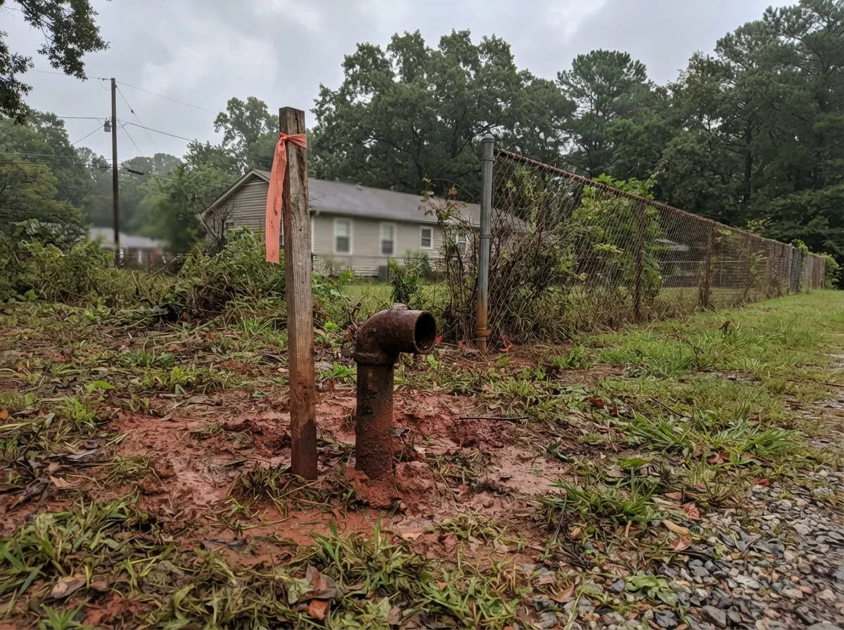
  • Rusted iron pipe property corner in red clay beside a flagged wooden stake, a chain-link fence and a house behind

    Property Line & Boundary Surveys

    A property line or boundary survey establishes the legal lines of a parcel by working through recorded deeds, prior maps, and physical monument evidence found in the field. In Jefferson County, that record gets filed as a survey or plat with the Probate Judge once the work meets the recording threshold under Alabama's plat-recording statute.

    This is the most-requested survey in the Birmingham area, covering everything from a quarter-acre residential lot to a large commercial or subdivision tract. On older parcels the record gets more complicated. Alabama's land records trace through the Public Land Survey System, and original section corners are often disturbed by grading, construction, or the region's karst and limestone-valley terrain, so we do the research to tie a modern boundary back to that record.

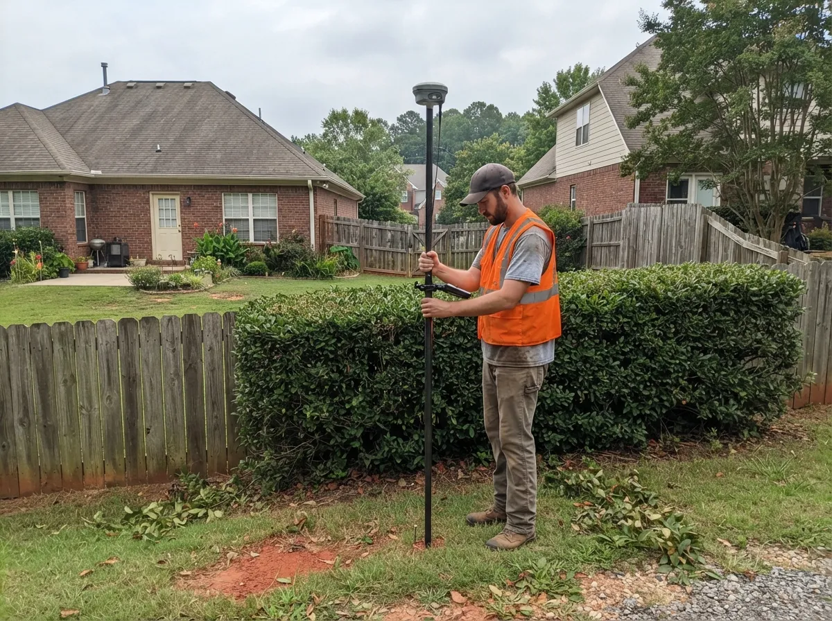
  • Land surveyor holding a GNSS rover pole on the fence and hedge line between two suburban back yards

    Lot Line Adjustments

    A lot line adjustment moves the boundary between two existing parcels without creating a new lot, and it still requires a full survey, a legal description, and an exhibit map before anyone can act on it. In Jefferson County, that work runs through the county's Land Development Regulations and the same Planning and Zoning Commission review that any other plat action gets.

    Homeowners and developers request this most often to correct an encroachment, square off an oddly shaped lot, or shift a line to make an existing structure conforming. Because the adjustment still has to clear county review, the survey and legal work have to hold up on their own before the plat gets filed.

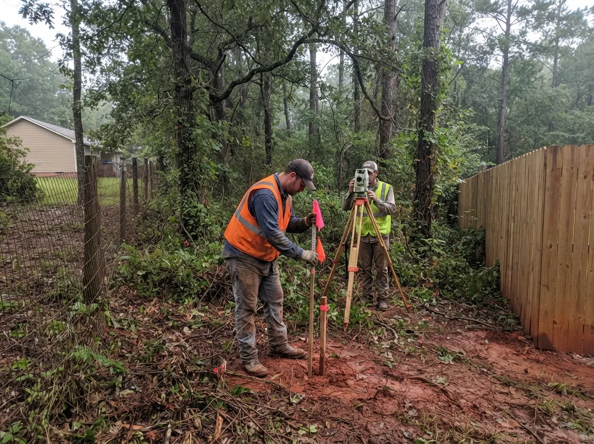
  • Two land surveyors measuring between a wire fence and a wooden privacy fence, one holding a flagged rod beside a stake, the other at a total station

    Boundary Dispute Resolution & Expert Witness Land Surveying

    Resolving a boundary dispute starts with retracing the original survey and researching the chain of title, then preparing exhibits detailed enough to hold up under cross-examination. Fence-line disagreements, encroachments, and title disputes all fall under this same process.

    Birmingham Land Surveyor takes these cases to court as an expert witness when a dispute goes that far, bringing the same documented, research-first approach to testimony that goes into every other survey we produce. Our file starts with the deeds and plats on both sides of the line, the original monuments, and any prior surveys, and we document what we find with measurements and photographs so our opinion rests on evidence. A clear, accurate survey often settles a fence-line disagreement before it reaches a courtroom, and when it doesn't, we prepare the exhibits and testimony your attorney needs.

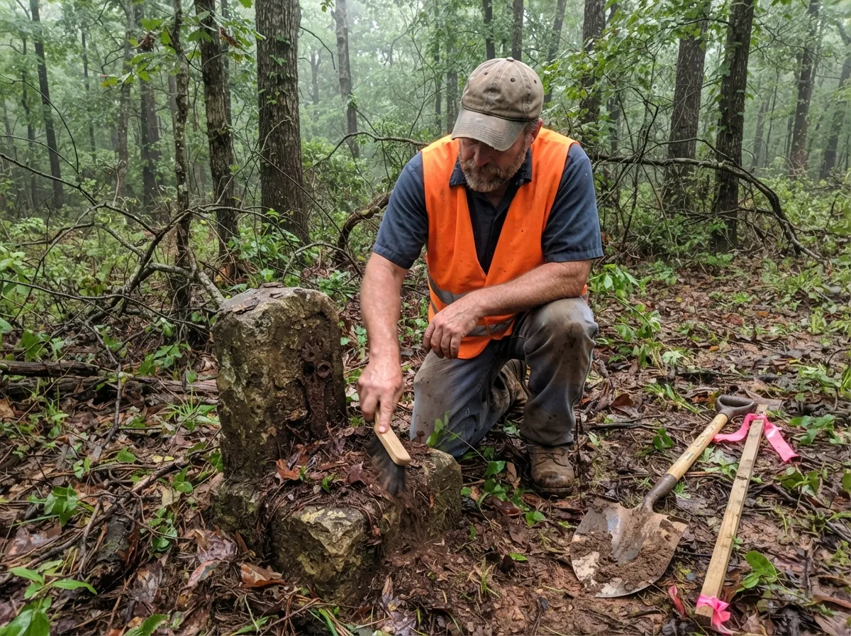
  • Land surveyor kneeling to brush leaves from a weathered stone section corner monument in hardwood woods, a shovel and flagged lath beside him

    Section, Township & Range Corner Retracement

    Alabama is a Public Land Survey System state, originally divided into six-mile-square townships and one-mile-square sections by the U.S. General Land Office, with the Bureau of Land Management now maintaining that cadastral survey record. A permanent monument was set at each section and quarter-section corner when the original survey was run.

    Retracing an older Jefferson County parcel means pulling the original General Land Office plat and following that section, township, and range corner network back through every recorded map since. Grading, construction, and the region's karst and limestone-valley terrain have moved or erased more than a few of those original monuments, so reconciling old calls against what a modern survey finds on the ground takes real archival work most property owners can't do on their own.

Design & Construction Surveys for Birmingham, AL Properties

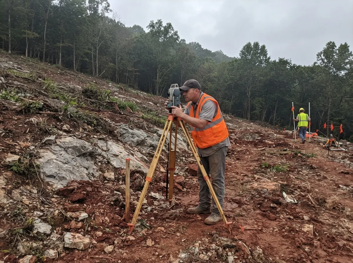
  • Land surveyor working a total station on a cleared hillside where grey limestone breaks through red clay, a second surveyor with a rod among flagged stakes behind

    Topographic Surveys & Site Mapping

    A topographic survey maps the elevations, contours, and features of the ground as it exists today. We collect that data with GNSS receivers, robotic total stations, and drone photogrammetry, then give an architect or engineer the real ground conditions before they design anything from a home addition to a commercial building.

    Birmingham's limestone-valley terrain, including the ridges around Red Mountain, produces real elevation change even within a single residential lot, and the Alabama Geological Survey has documented genuine sinkhole and subsurface-void risk in parts of the region. A topographic survey is the first real check on what a site can actually support before design work starts, and drone photogrammetry covers that ground efficiently on larger commercial or subdivision-scale sites.

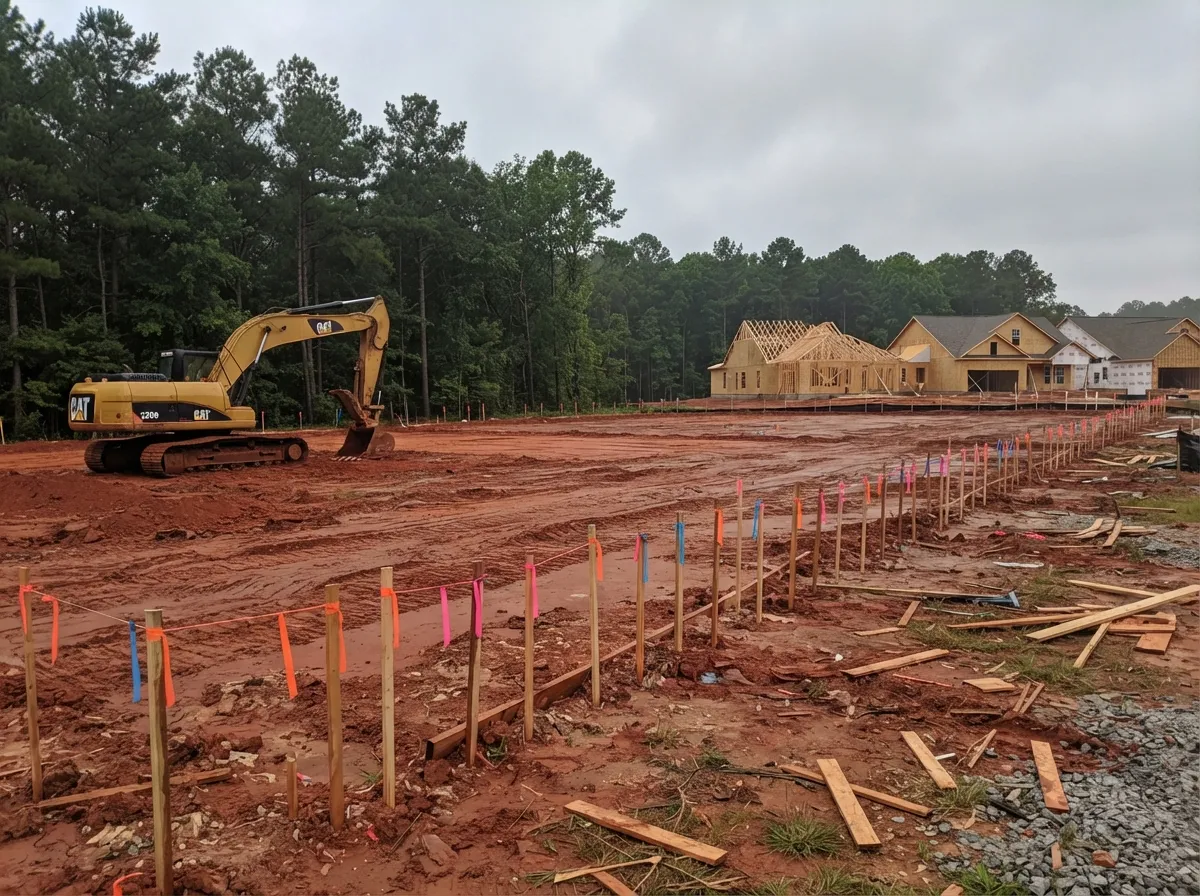
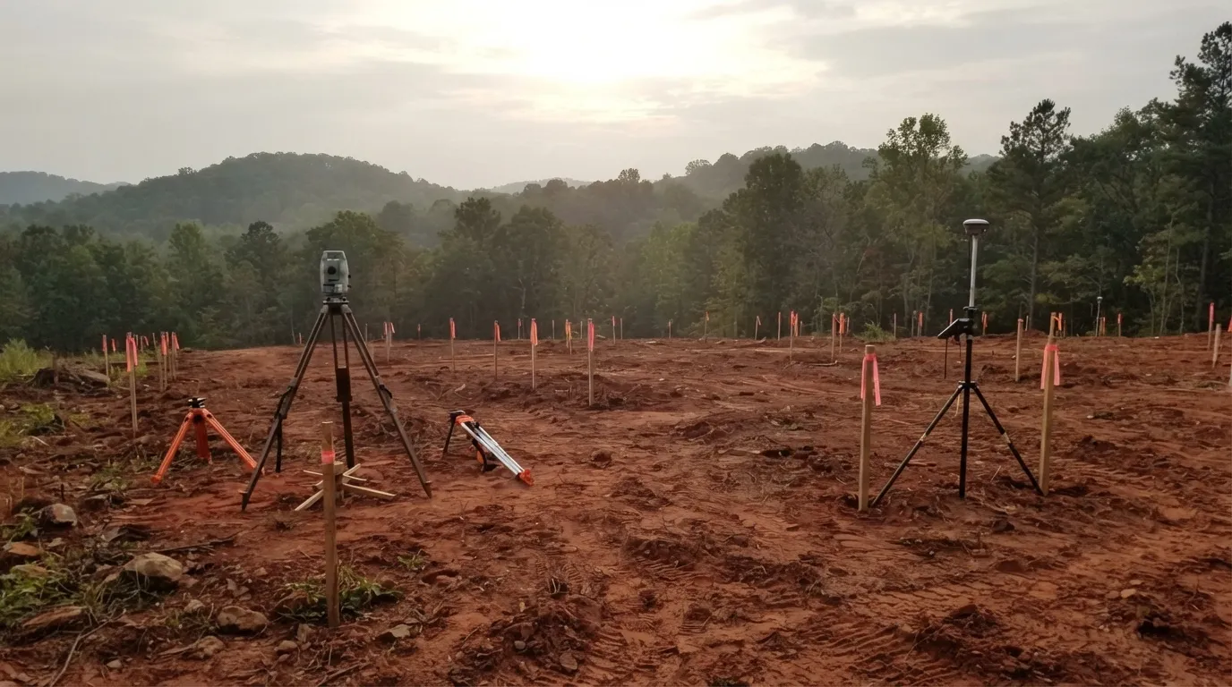
  • Rows of flagged wooden construction stakes along a graded red clay building pad, an excavator and framed houses behind

    Construction Staking & Site Layout

    Construction staking sets building corners, foundation lines, pad and finish-floor elevations, grading limits, and utility trenches directly in the field so a crew can build to the plan without guesswork. Most projects need staking at more than one point as work progresses, from initial layout through utility rough-in to final grading.

    We stake from the engineer's approved plans and tie every stake to a project benchmark, setting offset stakes with cut-and-fill marks so a crew can grade and pour without guessing. Birmingham's ridge-and-valley terrain makes slope and drainage grades unforgiving, so we check the plan's finish elevations against the ground before we set a stake and flag conflicts early, before they turn into rework. When grading disturbs our stakes, we re-set them so the crew keeps building to the same control. New subdivisions and commercial pads along the Hoover and Trussville corridors keep us in the field, and the urban core brings infill and redevelopment staking.

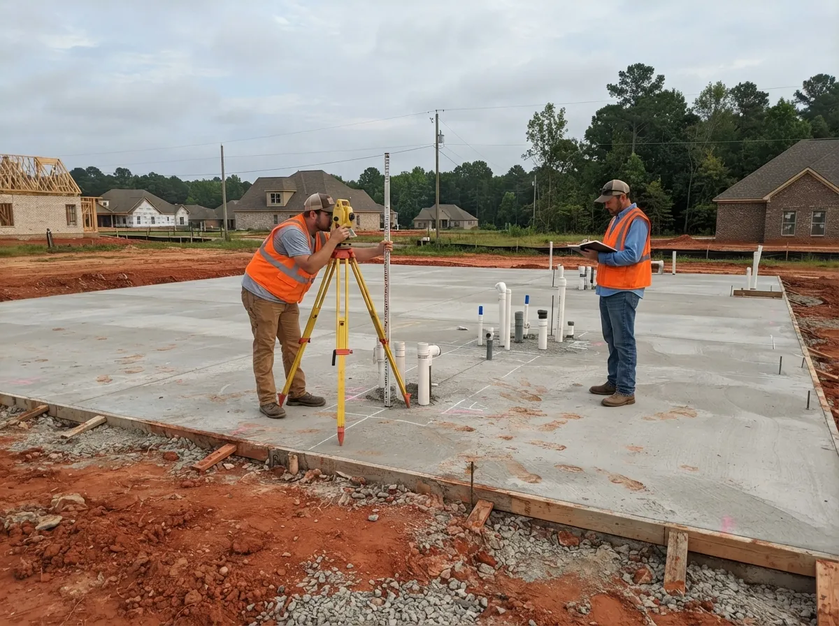
  • Two land surveyors checking a finished concrete foundation slab, one at a level and rod among the plumbing stub-outs, the other recording on a clipboard

    As-Built Surveys

    An as-built survey measures what actually got constructed, foundation location, utility runs, finish grades, and site improvements, and compares it against the approved plans. Contractors and property owners order these at project close-out, often as part of closing out a permit or certificate of occupancy.

    We measure the finished foundation, utility runs, finish grades, and site improvements against the approved plans, document every variance, and deliver a signed and sealed drawing that a permitting office or lender can rely on. Many permitting offices want an as-built before releasing a certificate of occupancy, and a lender or buyer may want one to confirm a building sits where the permit says it does. Catching a setback or grade problem in our as-built gives you the chance to correct it before it costs you a closing or an occupancy date.

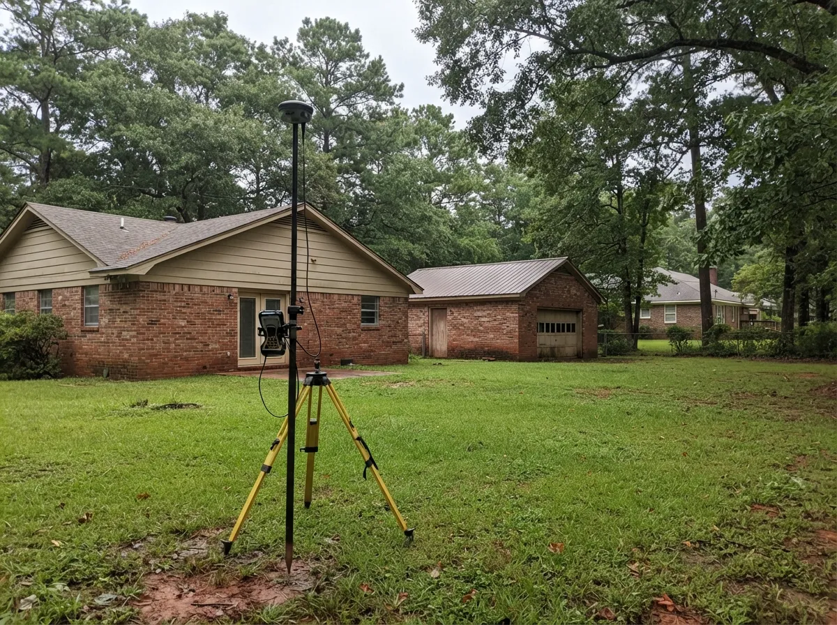
  • GNSS rover pole on a bipod on the back lawn of a brick ranch house, a detached brick garage and mature shade trees behind

    Site Plan & Plot Plan Surveys

    A site plan or plot plan survey produces a measured base plan of a parcel and its existing improvements, showing boundaries, structures, setbacks, and proposed work. It's the drawing a Jefferson County or City of Birmingham permitting office needs before approving an addition, pool, or accessory structure.

    We locate the boundaries, existing structures, easements, and setbacks, then show your proposed addition, pool, or accessory structure against them so the permitting office can check the plan against zoning at a glance. Measuring those setbacks accurately before the plans are drawn helps you avoid a permit sent back for revisions or a structure built too close to a line. Because we prepare the plan on a signed and sealed survey base, your designer or contractor works from measurements instead of a rough sketch.

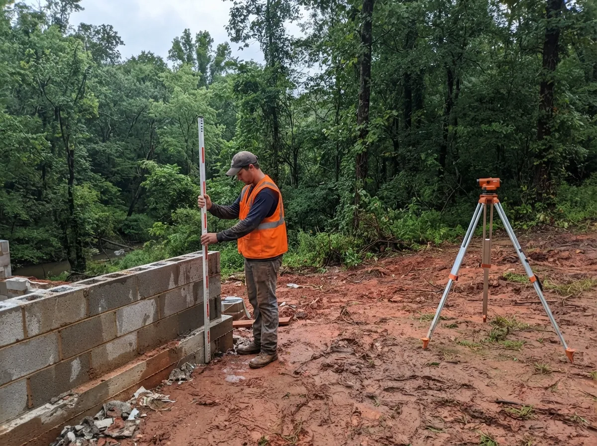
  • Land surveyor holding a levelling rod against a concrete block foundation on low ground beside a wooded creek, a level set up on its tripod nearby

    Elevation Certificates & Flood Zone Determination

    An elevation certificate documents a structure's elevation relative to the Base Flood Elevation on FEMA Form 086-0-33, the form insurers use to rate a property under the National Flood Insurance Program. When a structure sits above the mapped hazard but FEMA's map hasn't caught up, this same documentation supports a Letter of Map Amendment.

    Village Creek has flooded parts of Birmingham more than 30 times since 1977, and its floodplain alone accounts for roughly 53 percent of the city's Special Flood Hazard Area, with floodwaters documented rising as much as three feet an hour during heavy rain. Valley Creek and Five Mile Creek carry similarly high flash-flood risk from the dense development around them, and the City of Birmingham has run one of the largest FEMA-funded flood buyout programs in the country along Village Creek. If your property sits near one of these corridors, we can determine its flood zone status and prepare your elevation certificate.

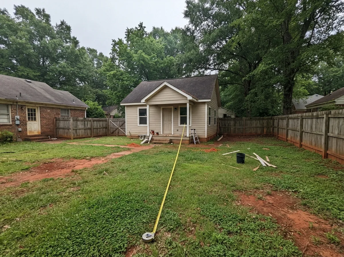
  • Small detached backyard cottage behind a brick house, a measuring tape stretched across the lawn toward it and a wooden privacy fence around the lot

    ADU & Unpermitted Structure Surveys

    An ADU site plan survey supports a permit application by documenting setbacks, existing structures, and utility connections before construction starts. The same survey work applies to an existing unpermitted structure that needs to be brought into compliance, starting with an accurate record of what's actually there.

    Many ADU permits hinge on setbacks, lot coverage, and utility routing, so we measure the existing house, property lines, easements, and utility connection points and show the proposed unit against them. For a structure built without a permit, we document exactly where it sits relative to the boundaries and setbacks, which gives you and the permitting office an accurate record to work from while you bring it into compliance. Either way, we start from a signed and sealed survey so the permit drawings match the ground.

Land Development & Mapping Surveys in Jefferson County

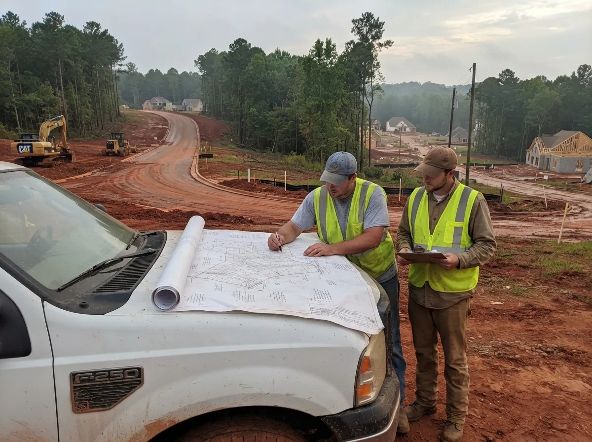
  • Two land surveyors in hi-vis vests reviewing a subdivision plat spread on a pickup hood, a graded red clay street and new houses behind them

    Subdivision, Tract & Parcel Maps

    A parcel map covers a division of four or fewer lots, while a tract map covers five or more, and both require a boundary and topographic survey, agency review, and a final recorded map before any lot can be sold or built on. In Jefferson County, every subdivision plat in the unincorporated county has to clear the Planning and Zoning Commission before it can be filed with the Probate Judge, with applications submitted through the county's Department of Land Planning and Development Services.

    Most of our subdivision work is in Jefferson County's suburban ring. The Birmingham metro added roughly 36,500 residents between 2020 and 2025, and that growth has landed mostly in Hoover, Trussville, and Vestavia Hills even as the county's urban core has held closer to flat. We coordinate the boundary and topographic survey, the lot layout, and the Planning and Zoning submittal together, so the plat that reaches the Probate Judge has already answered the county's review comments.

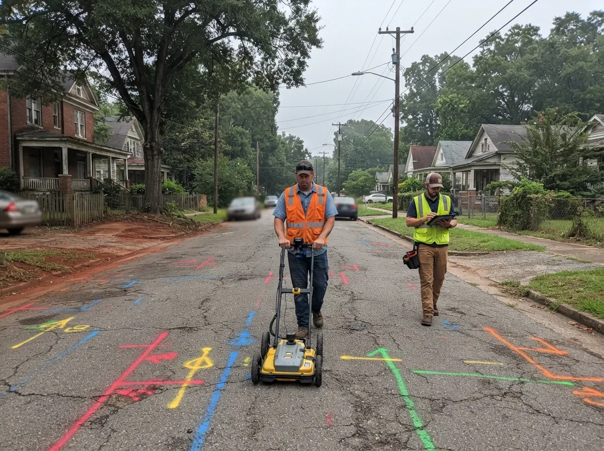
  • Land surveyor pushing a ground-penetrating radar cart down a residential street marked with colour-coded utility paint, a colleague with a tablet walking alongside

    Utility & Underground Surveys (SUE)

    Subsurface utility engineering researches utility records, surveys surface evidence, and locates underground gas, water, fiber, and telecom lines to the quality level a project requires, sometimes exposing a line in the field to confirm its exact depth and position. That groundwork happens ahead of any subdivision, road widening, or commercial construction project where hitting an unmarked line would be costly.

    We work to the ASCE 38 quality levels, which run from Level D (records research) through Level C (surveying visible surface features), Level B (electromagnetic detection and marking), and Level A (exposing the utility to confirm its exact depth and position). Matching the level to the project keeps you from paying for more than the job needs and gives your engineer utility data they can design around. We show every line on the survey with its quality level attached, so a contractor knows how much to trust each one before digging.

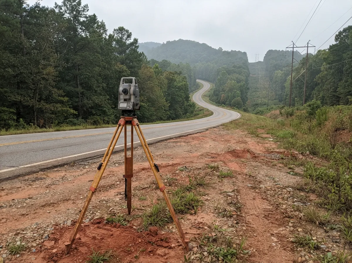
  • Total station on a wooden tripod set on the red clay shoulder of a winding two-lane highway, a power line corridor running through wooded hills beyond

    Route, Corridor & Right-of-Way Surveys

    A route or corridor survey establishes centerline, stationing, and existing-feature data for a linear project like a road, pipeline, or utility corridor, and resolves where public and private rights-of-way actually fall along that path.

    We start from the recorded right-of-way maps, deeds, and plats, then locate the centerline and existing features and tie them to the coordinate system your project's engineers use, so the route stays consistent along its whole length. For a road, pipeline, or utility corridor, we show where the public right-of-way, the private parcels, and any easements actually fall, so acquisition, design, and construction decisions rest on measured lines instead of assumed ones.

Specialty Land Survey Services for Birmingham and the Magic City

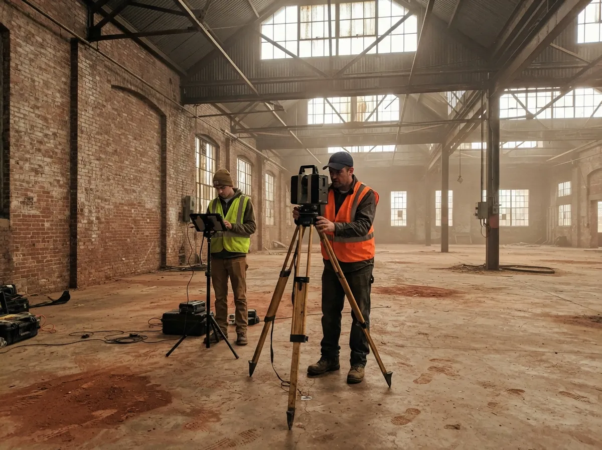
  • Land surveyor setting up a 3D laser scanner on a tripod inside an empty brick industrial building, a colleague reviewing a tablet on a stand beside him

    3D Laser Scanning & Scan-to-BIM

    High-definition laser scanning captures a dense point cloud, often millions of points at sub-inch accuracy, and registers it into a scan-to-BIM model for renovation planning, clash detection, or an as-built record of a complex existing building.

    Our scanners capture the existing building as millions of measured points, and we register those scans into one accurate point cloud, then build the model your design team needs for renovation planning or clash detection. We use our scanning on the complex industrial and commercial facilities where hand measuring would miss detail, including the manufacturing and logistics buildings that grew out of Birmingham's iron-and-steel history, and we take responsibility for delivering data your team can build from.

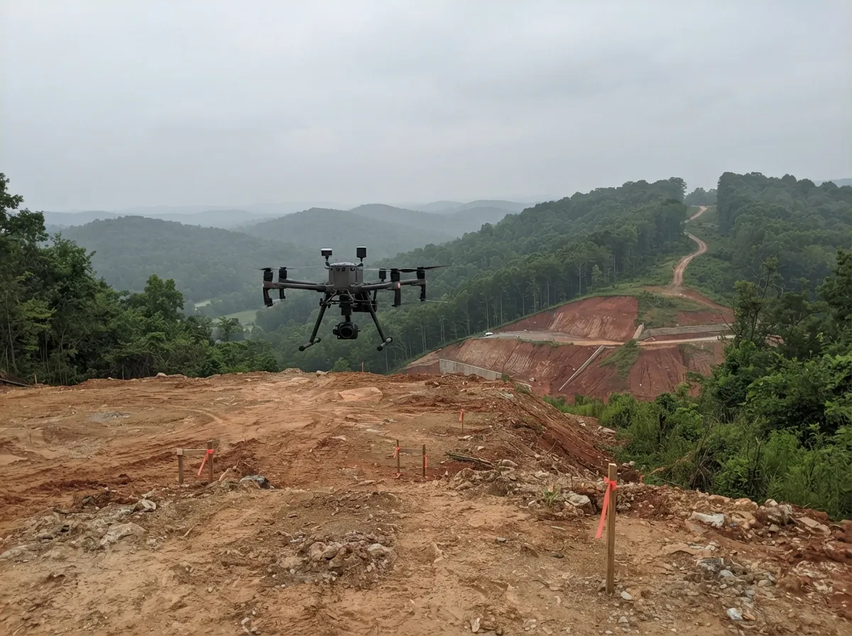
  • Mapping drone hovering over a graded red clay hilltop site marked with flagged stakes, wooded ridges and a cut slope in the distance

    Drone & Aerial Mapping

    FAA Part 107-licensed drone flights capture photogrammetry and LiDAR data for large or hard-to-access sites, producing orthophotos and surface models far faster than a ground crew could cover the same acreage.

    We plan each flight around FAA airspace rules and site conditions, then fly planned grids over the site. Ground control points that we set and survey with GNSS anchor the data, and we process the images into orthophotos, contours, and surface models tied to the same coordinates as our ground survey. Checkpoints confirm the model's accuracy, and our drone data pairs directly with the topographic and construction staking work developers already need on bigger projects.

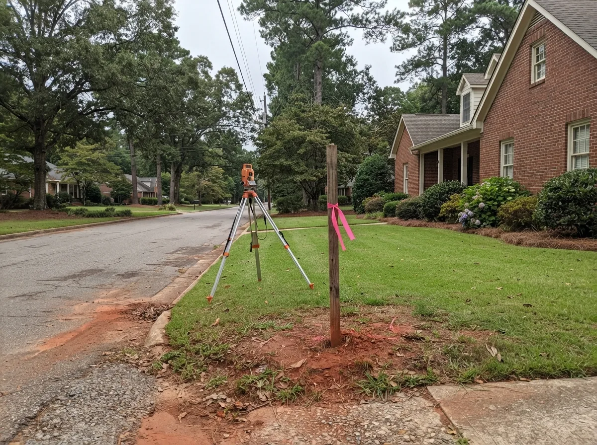
  • Survey instrument on a tripod beside a pink-flagged wooden stake at the front corner of a brick house's lawn on a tree-lined residential street

    Mortgage & Closing Surveys

    Alabama is one of the states where a real estate closing is legally the practice of law. State law requires a licensed Alabama attorney to prepare closing documents and oversee every residential closing, and a current survey or plat is frequently part of that closing file.

    A mortgage or closing survey is built around that timeline rather than a construction or permitting schedule. We work to your closing date, confirm the property's boundaries and visible improvements, and note any encroachments or easements that affect the sale so your attorney can address them before closing. Buyers, sellers, and their attorneys get a quicker-turnaround product when the closing date is what matters most.

Land Surveying Expertise in Birmingham, AL

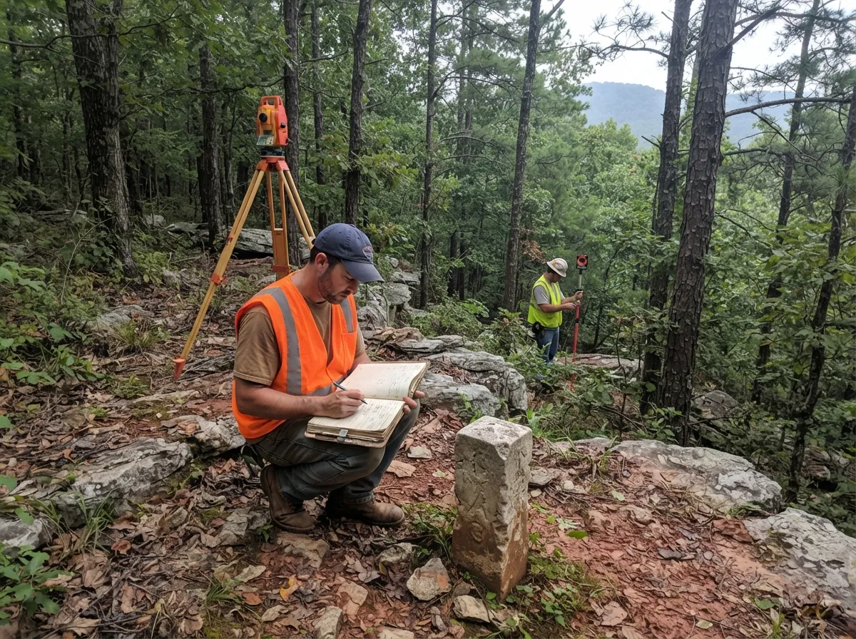
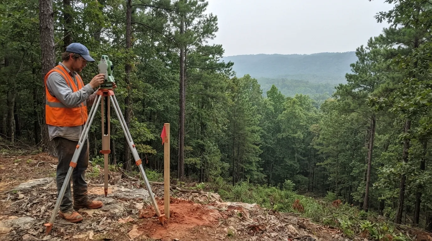
Land surveyor writing in a field book beside an old stone corner monument on a wooded limestone ridge, a total station behind him and a colleague holding a survey rod downhill

Surveying a Birmingham property takes more than good measurements. Jefferson County's land records combine original General Land Office section corners, plats recorded with the Probate Judge, and decades of later surveys, and we read them together before we set a single point. We know what the Standards of Practice for Surveying in the State of Alabama expect of a boundary, ALTA/NSPS, or construction survey, so the questions a title company, lender, or permitting office will ask are answered in the deliverable.

Birmingham's ground shapes our fieldwork. The ridges around Red Mountain, the limestone valleys, and the karst terrain the Alabama Geological Survey documents across the region change how we plan a topographic survey, where we expect disturbed monuments, and what we flag for an engineer, such as closed depressions that can point to sinkhole risk. Along Village Creek, Valley Creek, and Five Mile Creek, we understand how FEMA flood zones, base flood elevations, and elevation certificates fit together, and we tell you early when a Letter of Map Amendment is worth pursuing.

We also know the offices a survey passes through. Plats are recorded with the Probate Judge, subdivision plats clear Jefferson County's Planning and Zoning Commission first, and a permit drawing goes to the City of Birmingham or the county depending on where the parcel sits. Knowing which office wants what, and in what form, lets us prepare each survey for the right reviewer from the start.

Why We're the Best Land Surveyor in Birmingham, AL

  • Decades of Jefferson County and Birmingham Metro Survey Experience

    Birmingham Land Surveyor has more than 30 years of survey experience across Jefferson County, and we have completed hundreds of boundary, ALTA, and topographic surveys for homeowners, developers, and commercial clients in Birmingham, Hoover, Vestavia Hills, Homewood, Trussville, and Mountain Brook. That range matters because a fence-line survey, a lender's ALTA requirements, and a subdivision plat each work differently, and we have handled all three many times. The licensed surveyor who scopes your project stays involved through delivery, so nothing gets lost between the quote and the finished survey. Every client gets the same licensed-surveyor attention, whether the project is a quarter-acre lot or a large commercial tract.

  • Licensed, Sealed, and Filed to Standard

    Every survey we deliver is prepared under an Alabama Professional Land Surveyor licensed by the state Board of Licensure for Professional Engineers and Land Surveyors, and every map is signed and sealed to the Standards of Practice for Surveying in the State of Alabama. We are members of the Alabama Society of Professional Land Surveyors and carry professional liability and general liability insurance. Before a plat is issued, we verify our corner monuments in the field, and we file finished plats with the Jefferson County Probate Judge so the recorded record matches what we certified. If a title company or agency has a question after delivery, we answer it, because the certification is ours.

  • Survey-Grade Technology, Field-Checked Work

    We work with GNSS receivers, robotic total stations, and digital levels, and as FAA Part 107-licensed pilots we add drone mapping and 3D laser scanning when a site calls for them. Everything is tied to the NAD83(2011) Alabama West State Plane Coordinate System, the zone covering all of Jefferson County, so our work lines up with the engineers, architects, and agencies using the same control. We check our measurements in the field before we leave the site, and every monument we set is built to hold up against grading and construction disturbance. Our deliverables carry the coordinates and control we used, so your engineer or contractor can pick up exactly where our survey leaves off.

  • Direct Access and a Fixed Fee

    Every project starts with a free, no-obligation quote and a written scope, and you pay a flat fee agreed before work begins, so the price doesn't drift once we're in the field. You have direct access to the licensed surveyor handling your file, and we build turnaround around your closing dates and permit deadlines, with rush scheduling available when a closing is close. We deliver signed and sealed PDF and CAD files and handle county recording start to finish, so you're never left chasing the last step. If your scope changes, we send a written update before any added work begins, so the fee you approved is the fee you pay.

Land Survey Timeline and Process in Birmingham, AL

How Long Does a Land Survey Take in Birmingham, AL?

A straightforward residential boundary survey typically gets scheduled within one to two weeks, with field work wrapped up in a day or two. A lot line adjustment or subdivision map takes longer, often several weeks to a few months, because it has to clear Jefferson County Planning and Zoning Commission review before it can be filed. A commercial ALTA/NSPS survey depends on how quickly the title commitment and Table A items are confirmed.

A few things can stretch a schedule: karst and limestone-valley terrain in parts of the county, missing or destroyed monuments, an older parcel whose record starts with the Public Land Survey System and has since become conflicted, and the county's own Planning and Zoning queue for any plat action. We tell you at the start which of these apply to your parcel, and if you have a closing or permit date, we build the schedule around it.

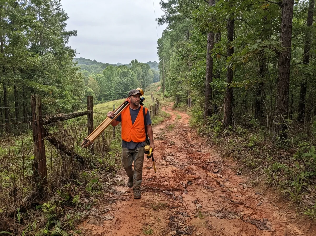
Land surveyor walking a red clay track beside an old wire fence line through the woods, a wooden tripod over his shoulder and a survey rod in hand

Project Timeline & Milestones

Every survey moves through the same seven milestones, so you always know where your project stands.

  1. Consultation & Scope

    Every project starts with a conversation about what the survey is for, the deadline, and property access. Whether it's a closing, a subdivision, a permit, or a boundary dispute changes what the final deliverable needs to look like, so getting this right up front shapes everything that follows.

  2. Records & Title Research

    Before anyone sets foot on the property, we pull the deed, prior recorded maps, and existing survey records from the Jefferson County Probate Judge's office. On older parcels, that research also means checking for Public Land Survey System history or a prior Planning and Zoning Commission action tied to the land.

  3. Written Proposal & Fixed Fee

    A written scope and a flat fee go out before any fieldwork begins, so there's no ambiguity about what's included or what the project costs. The proposal names the survey type, the deliverables, and the timeline, and it spells out what would change the scope so an add-on never surprises you. You approve it in writing before we schedule the fieldwork.

  4. Field Survey

    We establish GNSS and total-station control, then take boundary, topographic, or utility measurements according to the project's scope. We locate the monuments and physical evidence the boundary depends on and check our measurements against each other in the field. Larger commercial or subdivision-scale acreage gets drone mapping added to that field work.

  5. Boundary Analysis & Computations

    Back in the office, we resolve the boundary against record calls, physical evidence, prior surveys, and, on older parcels, the original General Land Office section-corner history, then compute final corner positions and parcel area. Where the record and the ground disagree, we weigh the evidence carefully and document how we reached the boundary we're showing.

  6. Map & Exhibit Preparation

    The survey map, exhibit, or plat gets drafted to CAD and Jefferson County standards, then reviewed, signed, and sealed by a licensed Alabama Professional Land Surveyor. We check the computations against the field data before we sign, so the numbers on the page match the measurements on the ground.

  7. Filing & Delivery

    We file the finished survey with the Jefferson County Probate Judge and, for a subdivision action, complete the Planning and Zoning Commission review, then set monuments in the field and deliver signed PDF and CAD files directly to the client. You receive the recorded plat details and the deliverables in the formats your attorney, lender, or designer needs.

Inspection, Measurement & Assessment

Fieldwork begins with an assessment of the site itself. We walk the parcel, search for and recover existing monuments, note fences, structures, and utilities in relation to the lines, and check access, vegetation, and terrain so we can plan the fieldwork and equipment. We then measure from control points established with GNSS and a robotic total station, and we build in redundancy, such as measuring key corners more than once and checking traverse closures, so an error shows up before we leave the site. On large or steep sites, we add drone photogrammetry or 3D laser scanning to capture what a ground crew could not reach efficiently. Anything the evidence leaves unclear, we flag for the analysis and title research that follow.

Design & Planning Process

Once the field data is in, the planning work begins. We compare our measurements against the deed, prior surveys, and recorded plats, compute the boundary, and decide with you which deliverable fits the purpose: a boundary map, a topographic base for your architect or engineer, a plat for county review, or an exhibit for a title company. For a subdivision, we coordinate the lot layout, the plat, and the Planning and Zoning submittal with your engineer and the county's review comments. We draft to CAD standards, review our computations before we sign and seal, and send a draft for your review when your project's design depends on it.

Land Survey Cost and Pricing in Birmingham, AL

What Affects the Cost of a Land Survey?

Several factors set the price of a survey, and we explain each one in the written quote. Parcel size and shape come first, since more boundaries to walk and more corners to find means more field time. Terrain, vegetation, and access add time on steep, wooded, or hard-to-reach land, and the completeness of the existing record matters because a parcel with missing monuments or a conflicted description needs more research. The survey type sets the deliverable, from a simple boundary map to an ALTA/NSPS survey that plots every recorded easement, and any county review, such as Planning and Zoning for a subdivision, adds coordination time.

How Much Does a Land Survey Cost in Birmingham, AL?

Typical ranges for the surveys we perform most often are below. Your quote is a flat fee based on your parcel and the deliverable you need. A boundary survey on a typical residential lot sits toward the lower end of the property line range, while a large or heavily wooded tract with missing monuments sits toward the top. Topographic pricing scales with acreage and the contour detail your designer needs, and ALTA/NSPS pricing depends on how many Table A items the lender or title company selects.

Survey TypeTypical RangeWhat Drives the Price
Property Line & Boundary Survey$1,500 - $6,000Parcel size, terrain and access, how complete the existing record is, and how many corners have to be recovered
Topographic Survey$2,000 - $8,000Acreage, vegetation and slope, the contour interval required, and whether drone mapping can cover the site
ALTA/NSPS Land Title Survey$3,500 - $15,000+The Table A items selected, property size, and the number of recorded easements and title exceptions to plot
Lot Line Adjustment$3,000 - $8,000The legal descriptions and exhibits required, the number of parcels involved, and Planning and Zoning review
Elevation Certificate$500 - $1,500Building type and foundation, the FEMA flood zone, and whether a benchmark and plans are readily available
Construction Staking$1,000 - $5,000+Site size, the number of staking phases, and how often the plans change
ADU Site Plan Survey$1,000 - $3,000Lot size, how many existing structures and utility points have to be located, and setback complexity

These ranges are a starting point for the conversation, not a fixed quote. Every project gets a free, written estimate before any work begins.

Budget Planning

Plan your survey budget around what the survey has to accomplish. If you're buying property or building a fence, a boundary survey usually covers the need. If you're designing an addition or a new building, budget for a topographic survey and, later, construction staking and an as-built survey, since each answers a different question at a different stage. For a subdivision or commercial purchase, set aside fees beyond the survey itself, such as county plat review and recording, so the total isn't a surprise. Asking us to scope the whole sequence up front lets you spread the cost across the project instead of meeting it all at once.

Professional Land Survey vs. GPS Apps and Online Maps

Some property owners consider a smartphone GPS app, a county GIS parcel map, or an older survey as a low-cost alternative. A phone GPS is typically accurate to within several feet under open sky and worse near trees or buildings, which is too coarse to place a fence or a foundation against a property line. County parcel maps are generally drawn for tax assessment rather than to determine a legal boundary, and an older survey may not reflect monuments, easements, or structures that have changed since it was made. A professional survey uses survey-grade GNSS and total stations, recorded evidence, and a licensed surveyor's signature and seal, and it is the document title companies, lenders, and courts rely on. The alternatives can help you get oriented, but they can't settle where the line is.

Hidden Costs & Additional Considerations

A few costs sit outside the survey fee, and we point them out in the quote so nothing surprises you. County plat review fees and Probate Judge recording fees are separate from our fee. Heavy brush or trees may need clearing before we can measure, and a missing or buried monument can add research and field time. If plans change during construction, re-staking and an updated as-built add to the original scope. A tight closing or permit date can also affect scheduling and pricing, and we discuss that with you before we start. If our research or fieldwork turns up something that changes the scope, we tell you and get your approval in writing before we go further.

Financing & Payment Structure

We quote a flat fee before work begins, so you know the total up front. For larger projects, such as a subdivision or a multi-phase construction staking job, payment is typically divided into milestones, for example a deposit to start, a payment when the field work is complete, and the balance when we deliver the signed and sealed survey. Smaller residential surveys are generally settled at delivery. We put the payment terms in the written proposal alongside the scope and fee, so you can review them before you approve the work. If a lender or attorney on your project has specific payment or certification requirements, tell us up front and we'll match our paperwork to them.

Proudly Serving Birmingham, Jefferson County, and the Metro

Birmingham Land Surveyor works throughout Birmingham, Hoover, Vestavia Hills, Homewood, Trussville, and Mountain Brook. Our license is good statewide, so a project outside this footprint is a conversation, not a dead end.

Aerial view of downtown Birmingham, Alabama at sunset, the skyline under orange clouds with the rail yard running along the right

What Our Birmingham Customers Are Saying

  • Robert M.3 weeks ago on

    “Birmingham Land Surveyor turned our closing survey around faster than our attorney expected, and the file was ready well ahead of our deadline.”

  • Sarah T.2 months ago on

    “We needed a subdivision plat navigated through Jefferson County's Planning and Zoning Commission, and the whole process was handled without a single surprise.”

  • James K.7 months ago on

    “Our design team needed a topographic survey on a tight timeline, and the level of detail in the final map made every part of the design process easier.”

  • Linda P.1 year ago on

    “An old boundary survey didn't match our deed, and Birmingham Land Surveyor tracked down the original record and resolved it before we broke ground.”

Birmingham Land Surveyor FAQs

How much does a land survey cost in Birmingham, AL?
  • Property Line & Boundary Survey: $1,500 - $6,000
  • Topographic Survey: $2,000 - $8,000
  • ALTA/NSPS Land Title Survey: $3,500 - $15,000+
  • Lot Line Adjustment: $3,000 - $8,000
  • Elevation Certificate: $500 - $1,500
  • Construction Staking: $1,000 - $5,000+
  • ADU Site Plan Survey: $1,000 - $3,000
What's the difference between a land survey and a boundary survey?

A land survey is the general term for the whole profession, and a boundary survey is one specific type of land survey. A boundary survey establishes the legal property lines of a parcel by working through deed research, prior recorded maps, and the physical monuments found in the field. Other land surveys, such as topographic, ALTA/NSPS, and construction staking, use that boundary as a starting point but answer different questions about the same land. If you want to know exactly where your property line is, the boundary survey is the one you need.

What's the difference between a land survey and a topographic survey?

A boundary survey establishes where your property lines are, while a topographic survey maps what's on the ground within those lines: elevations, contours, drainage patterns, trees, structures, and utilities. Architects and engineers use that data to plan grading, drainage, and foundations, so a topographic survey is usually the first thing a design team asks for. On many projects we combine the two, so the boundary and the ground conditions appear on the same signed and sealed drawing.

What's the difference between a land survey and a site plan?

A land survey is the fieldwork and measurement that establishes boundaries and features on a parcel. A site plan is a drawing built from that survey data, showing the parcel, existing structures, setbacks, and proposed work in the format a permitting office requires. A site plan drawn without a current survey can put a structure in the wrong place on paper, so we prepare ours on a signed and sealed survey base. Ask for a site plan survey when you're applying for a permit for an addition, pool, or accessory structure.

What should I do if a land survey doesn't match my deed?

A mismatch between a survey and a deed usually means the deed description doesn't reflect what's physically on the ground, often because of an older or imprecise legal description. We resolve it by researching the chain of title, pulling prior surveys and recorded plats, and reconciling the deed's calls against the monuments and improvements in place. Where the record starts with an original General Land Office plat, we retrace the section corners it depends on. You end up with a survey that explains the difference and, if a correction is needed, the documentation your attorney or title company needs to make it.

How long does a typical survey take from start to finish?

Most residential boundary surveys are scheduled within one to two weeks, and larger projects can take several weeks to a few months depending on county review. You can shorten the timeline by gathering your deed, any prior survey, and your title paperwork before we start, making sure we have access to the whole parcel, and telling us about any closing or permit deadline at the outset. Clearing heavy brush along the property lines and pointing us to any monuments you know about also saves field time, and we confirm the schedule in writing with your quote.

What kinds of commercial and subdivision-scale surveys do you handle?

We handle everything from a quarter-acre residential lot to large commercial and subdivision-scale tracts. For commercial clients that includes ALTA/NSPS land title surveys, topographic mapping, and construction staking, and for developers it includes boundary and topographic surveys, lot layout, and the plat filing that follows Planning and Zoning review. Each project is scoped in writing before fieldwork begins, so you know what the survey will and won't cover.

How does construction staking work on a large subdivision or commercial project?

Stakes are set from the engineer's approved plans and tied to a project benchmark, marking building corners, foundation lines, grading limits, and utility trenches. Large projects need staking at several points, from initial layout through utility rough-in to final grading, so we return as work progresses and re-set stakes that grading has disturbed. Each stake carries cut-and-fill information so the crew can build to the plan without guessing.

Can you locate underground utilities?

Yes. Our subsurface utility engineering work researches utility records, surveys surface evidence, and uses electromagnetic detection to locate underground gas, water, fiber, and telecom lines ahead of construction or excavation. Where a project needs certainty, we expose a line to confirm its exact depth and position. Every line goes on the survey with the quality level that describes how it was found.

What drone and aerial surveying services do you offer?

We fly drones under FAA Part 107 licensing to capture photogrammetry and LiDAR data for topographic mapping and large-acreage projects. A drone can cover a large or hard-to-access site in a fraction of the time a ground crew needs, and we tie the results to ground control points surveyed with GNSS so the model is accurate. The finished orthophotos, contours, and surface models come on the same coordinates as our ground survey.

Is the initial consultation really free?

Yes. Every project starts with a free, no-obligation quote and a written scope before any fieldwork begins. The quote spells out what the survey includes, the deliverables you'll receive, and the fee, so the price doesn't change once work starts. If you're not sure which type of survey you need, we'll help you choose the right one in that first conversation.

Do I need a survey before buying a house?

Yes, we recommend one before you close. A survey confirms exactly where the property lines fall and flags encroachments, easements, or boundary problems while you can still negotiate a fix or walk away. It can also let your title company remove the standard survey exception from your policy, and in Alabama your closing attorney can tell you which type of survey your transaction calls for.

Do I need a survey to build a fence?

Yes, we recommend a boundary survey first. A fence built on or near a property line without one risks landing on a neighbor's land or inside a setback, and moving a fence later costs far more than surveying beforehand. We stake the corners and the line so your fence contractor builds to the true boundary, and we note any easements the fence should stay off.

Get Your Birmingham Land Survey Started

Whether it's an ALTA survey for a commercial closing, a boundary survey for a new fence, a topographic survey for a design team, or a subdivision plat that needs to clear county review, Birmingham Land Surveyor handles every type of survey work across Jefferson County and the Birmingham metro.